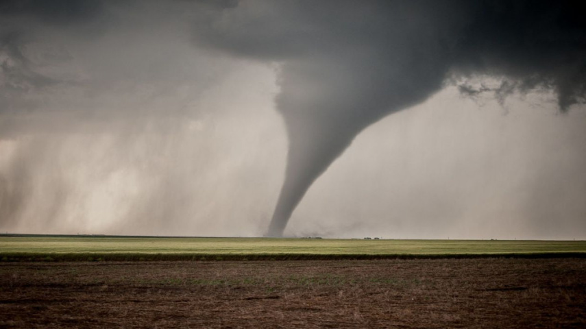
Tornado risk peaks amidst severe thunderstorms in Kansas City; know all the DEETS here
A tornado watch is in effect for parts of Iowa, Kansas, and Missouri until 9 p.m. Friday, including the Kansas City area. Here's what you should know to be safe.

-
Kansas City faces heightened risk of tornadoes amidst severe thunderstorms
-
Parts of Iowa, Kansas, and Missouri under watch and residents urged to stay alert
Residents of Kansas City are urged to remain vigilant as a tornado watch is in effect for parts of Iowa, Kansas, and Missouri until 9 p.m. Friday. Jonathan Kurtz, meteorologist for the National Weather Service, states the potential severity of the incoming storms as per the Kansas City Star. He goes on to say, "If you get a storm, more than likely it's going to be severe."
Enhanced risk of severe weather
The Kansas City area remains at increased risk of severe weather, with particular concern along Interstate 29 in northwest Missouri. While not everyone may experience severe weather, the possibility of strong tornadoes, hail up to the size of a tennis ball, and damaging winds up to 70 mph is real.
The threat of severe weather continues into the weekend, with another round expected between 6 p.m. Saturday and 7 a.m. Sunday. Tornadoes, large hail, damaging winds, and flash flooding are all potential hazards.
The main focus shifts to Saturday night, when a line of storms is expected to move in from southeast Kansas. Kurtz anticipates spin-ups along the line as the primary concern, with damaging wind gusts likely the most serious threat.
Flood risk heightens
In addition to tornadoes, heavy rainfall increases the risk of flooding. Parts of the Kansas City metro area have already seen heavy rain, with some areas receiving up to 2.5 inches overnight Thursday.
The weekend storms could dump another three to four inches of rain, exacerbating flooding concerns. Kurtz goes on to say, "We've already had a few of the smaller rivers that are already forecast to go near flood or to minor flooding."

Residents are encouraged to prepare for the possibility of severe weather by following local weather updates and having an emergency plan in place. It is critical to remain vigilant and follow any warnings or watches issued by authorities. With the possibility of tornadoes, damaging winds, hail, and flooding, taking precautions and staying safe is critical.
As severe weather approaches Kansas City, residents are encouraged to stay informed, prepared, and cautious. With Mother Nature's unpredictability, it's critical to heed warning signs and prioritize safety. Keep up to date on local weather forecasts and have an emergency plan in place to ensure the safety of yourself and your family.


 JOIN OUR WHATSAPP CHANNEL


